

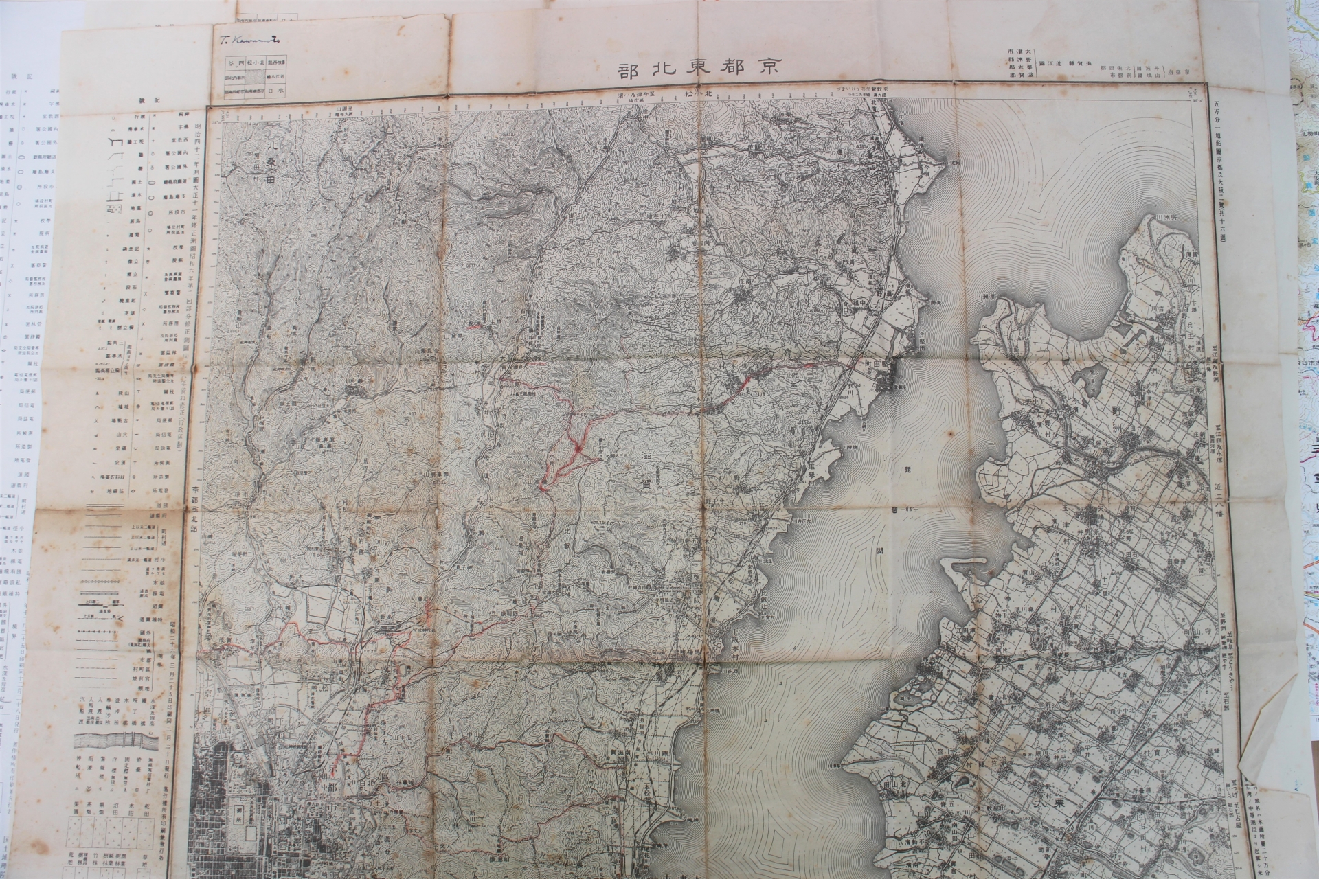
Have you ever been sightseeing in Kyoto and been surprised by how long the address was when you looked up a Japanese restaurant or café you wanted to visit?
In other cities, addresses are generally written simply as “city/ward/town/village + neighborhood name + house number.” However, in Kyoto City—particularly in the central districts such as Kamigyo, Nakagyo, Shimogyo, and Sakyo—addresses include terms like “agaru” (up), “sagaru” (down), “higashi-iru” (east), and “nishi-iru” (west), which are uncommon in other regions.
This is a notation method unique to Kyoto called the “street-name address” system, and it is actually a very logical system.
In this article, we’ll provide a detailed explanation of how to read Kyoto addresses, their historical origins, and how they’re actually used. By the time you finish reading, you should be able to read a Kyoto address without getting lost.
Table of Contents
- What do “up/down” and “enter from the east/enter from the west” mean?
- Why Are Addresses in Kyoto So Long? The History of the “Jōbō System”
- Practical Guide: Let’s Try to Figure Out a Location from an Address
- A Kyoto Children's Song to Help You Remember Street Names
- How to Use It for Tourism and Points to Note
- summary
1. What do “up/down” and “enter from the east/enter from the west” mean?
First, let’s review the pronunciations. “上る” is pronounced “agaru,” and “下る” is pronounced “sagaru.” Many people mistakenly pronounce them as “noboru” and “kudaru,” but the correct pronunciations are “agaru” and “sagaru.” When you take a taxi in Kyoto, if you give your destination as something like “just past where ○○ Street goes up,” it might be easier for the driver to understand if they’re familiar with the area.
The meaning is very simple.
- Go up (agaru): Going North
- Go down: Head south
- Higashi-iru: Go East
- Nishiiru: Going West
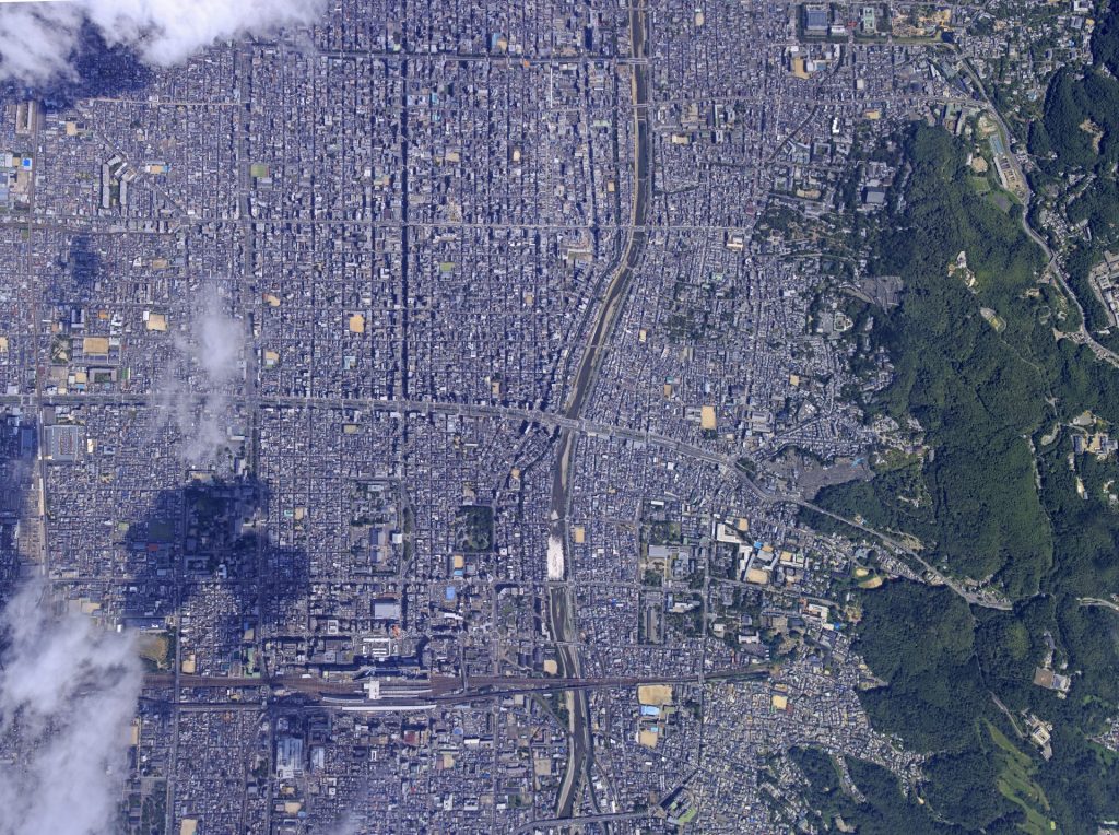
The road network in central Kyoto is laid out in a “grid pattern,” with north-south and east-west streets intersecting at right angles. The phrases “up,” “down,” “east,” and “west” are used within this grid-like layout to indicate, in a single word, which direction a destination lies from an intersection.
Note that while the term is sometimes written in katakana as “上ル,” the official spelling uses hiragana okurigana, as in “上る.” Similarly, “西入る” and “東入る” are sometimes written as “西入” and “東入,” omitting the “ル.”
2. Why Are Addresses in Kyoto So Long? The History of the "Jōbō System"
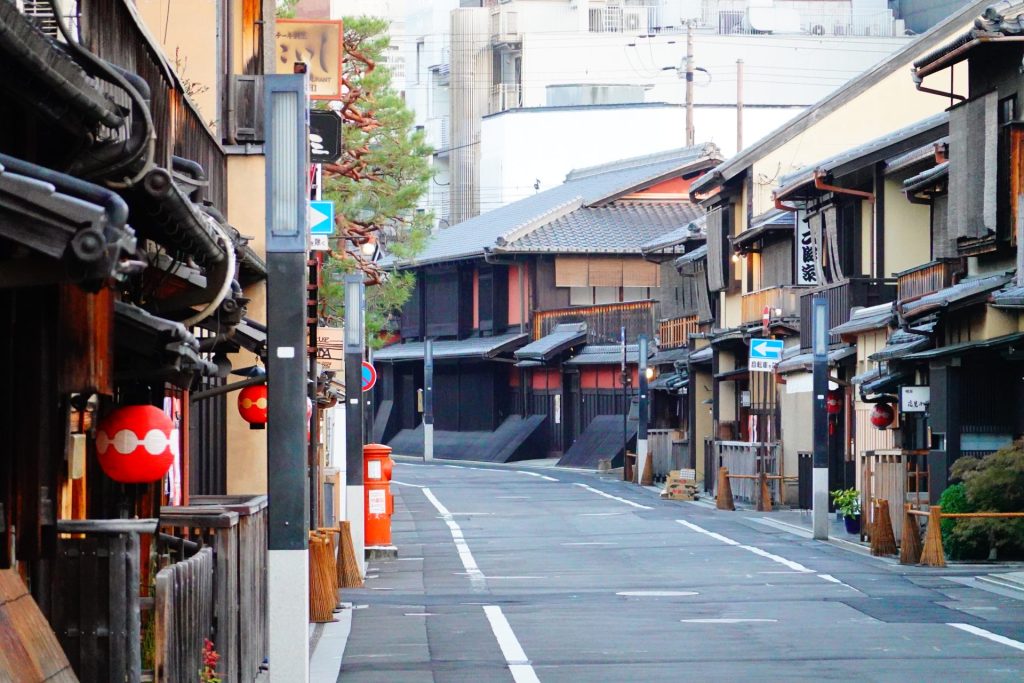
Behind this unique system of address notation in Kyoto lies a long history dating back to the Heian-kyō period.
Heian-kyō, established in the 13th year of the Enryaku era (794), was built using a grid-style urban planning system known as the “jōbō-sei,” in which streets intersect at right angles in a north-south and east-west grid pattern, modeled after the urban planning of Chang’an, the capital of Tang China. The capital was neatly divided into a grid-like pattern, and each street was given a name.
Although the road network underwent changes following the devastation caused by the Ōnin War (1467–) and Toyotomi Hideyoshi’s urban redevelopment (the Tenshō Land Division), the basic structure—in which north-south and east-west streets intersect at right angles—has been preserved to this day. The fact that addresses in central Kyoto continue to use street names in addition to “neighborhood name + lot number” is a remnant of this ancient urban planning.
This method of indicating where a building is located along a street is a practical system unique to Kyoto that intuitively conveys “where on the grid it is”—something that can be difficult to determine from an address alone.
3. Practical Exercise: Let's Try to Figure Out a Location Based on an Address
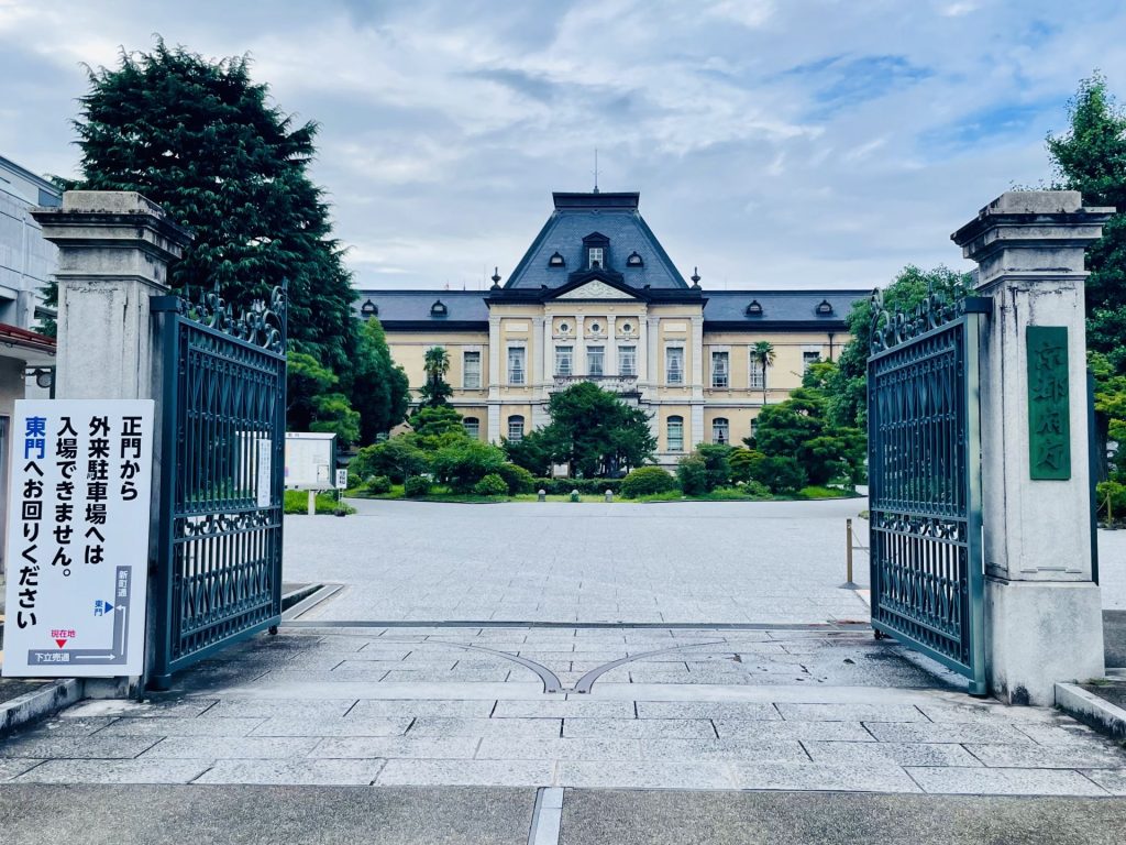
Let's look at an example of a real address to see how it's read. The address for the Kyoto Prefectural Government is as follows:
Kamigyo-ku, Kyoto City, Kyoto PrefectureShimotateuri-dori, Shinmachi, west sideYabunouchi-cho
Please focus on the part that says “Shimodachiuri-dori Shinmachi Nishi-iru.” This refers to,
- From the intersection where "Shimotateuri-dori" (the east-west street) and "Shinmachi" (the north-south street) meet
- Just past the entrance to the west
That’s what it means. In other words, if you find the intersection of Shimotachibana-dori and Shinmachi-dori on the map and head west from there, you’ll reach the Kyoto Prefectural Government Building.
As you can see, Kyoto’s address system combines “east-west streets + north-south streets + directional terms (up, down, east entrance, west entrance),” creating a system that has allowed anyone to pinpoint a location accurately—even in the days before GPS—as long as they knew the street names. Local residents sometimes describe directions by saying, “a little way down this suji (street),” so keeping this in mind will be helpful when conversing with locals.
4. A Kyoto Children's Song to Help You Remember Street Names
In Kyoto, there has long been a tradition of “warabe-uta” (counting songs) used to help people remember the names of major streets. This cultural practice is so deeply rooted in the community that elementary and middle schools in Kyoto sometimes teach these songs in music classes or as part of traditional festival music. This song also appeared in the 2003 animated feature film *Detective Conan: Crossroad in the Labyrinth*, where it became a hot topic.
The Song of the East-West Street: “Marutake Ebisu”
This song weaves the initial letters of street names into the lyrics as the song progresses from north (Marutamachi-dori) to south (Oike-dori).
Marutake Ebisu, Oshioike, Ane-san Rokkaku, Tako Nishiki, Shiyabutta-ka, Matsuman Gojo, Settachara-chara, Uono-tana, Rokujo Sante, Passing by, Once you cross Hichyo, Hachijo, Juujo Toji, and you’ll reach Aim
Marutamachi-dori, Takeyamachi-dori, Ebisugawa-dori, Nijo-dori, Oshikoji-dori, Oike-dori, Anekoji-dori, Sanjo-dori, Rokkaku-dori, Takoyakushi-dori, Nishikikoji-dori, Shijo-dori, Ayakoji-dori, Bukkoji-dori, Takatsuji-dori, Matsubara-dori, Manjuji-dori, Gojo-dori… and so on, with the names of these east-west streets stretching southward in a continuous line.
The Song of the North-South Street: “Teragoko”
There’s also a song to help you remember the names of the north-south streets that run parallel to the east-west streets.
Teragokofuya, Tomi, Yanagisakai, Takaai-Higashi, Kurumaya-cho, Karasuryogae, Murokoromo, Shinmachi-Kamanza, Nishio-gawa, Aburasame-gai, Horikawa-no-mizu, Yoshiyai-no-kuro, Omiya-he, Matsuhigurashi, Chi Chōkō-in, Jōfuku Senbon, and finally Nishijin
The street names—Teramachi-dori, Gokōchō-dori, Fuyachō-dori, Tomikoji-dori, Yanagibaba-dori, Sakaimachi-dori, Takakura-dori, and Manōchō-dori—are woven together as they run from east to west.
These songs are all traditional temari songs and children’s songs believed to date back to the Edo period, and you can still listen to recordings and hear their melodies online today. There is also an information kiosk in front of Kyoto City Hall (in front of Honnoji Kaikan) that plays the songs when you turn the handle, so be sure to look for it when you’re strolling through Kyoto.
5. How to Use It for Sightseeing and Points to Keep in Mind
- The basic approach is to use it in conjunction with a map app
While street-name addresses are a very convenient system, it can be quite difficult for first-time visitors to find their destination using only the street name. We recommend checking the exact location on a map app like Google Maps and then cross-referencing it with the street names, thinking, “Oh, so this store is near the intersection of ◯◯ Street and △△ Street.” - Useful Tips for Taking a Taxi
Instead of giving an address, it may be easier for a driver who is familiar with the area to understand if you say, “It’s where you go up (or down) ◯◯ Street to △△.” - Some abbreviations are based solely on street names
In conversations among people in Kyoto, it’s common to refer to a location simply by the name of an intersection, such as “Shijō-Karasuma.” This refers to the intersection of Shijō Street and Karasuma Street. - The same street name appears in other, distant locations
There are a great many streets in Kyoto, and since some have similar names or are quite short, it’s a good idea to check their locations on a map beforehand when visiting a place for the first time.
6. Summary
The terms “up/down” and “east/west” found in Kyoto addresses are a rational notation system unique to Kyoto, developed against the backdrop of the city’s grid-like urban layout, which dates back to the Heian-kyo era. Once you understand how to read and interpret them, they are by no means difficult.
If you memorize the children’s song “Marutake Ebisu ni Oshioike,” the layout of Kyoto’s streets will feel much more familiar. The next time you visit Kyoto, be sure to keep this article in mind, pay attention to the addresses and street names, and enjoy exploring the city. Sharing this with your travel companions will make for a great bit of Kyoto trivia.


